Ficheiro:Brazil regions.png
Dimensões desta antevisão: 681 × 599 píxeis. Outras resoluções: 273 × 240 píxeis | 546 × 480 píxeis | 873 × 768 píxeis | 1 164 × 1 024 píxeis | 1 566 × 1 378 píxeis.
Ficheiro original (1 566 × 1 378 píxeis, tamanho: 414 kB, tipo MIME: image/png)
Descrição do ficheiro
| Descrição |
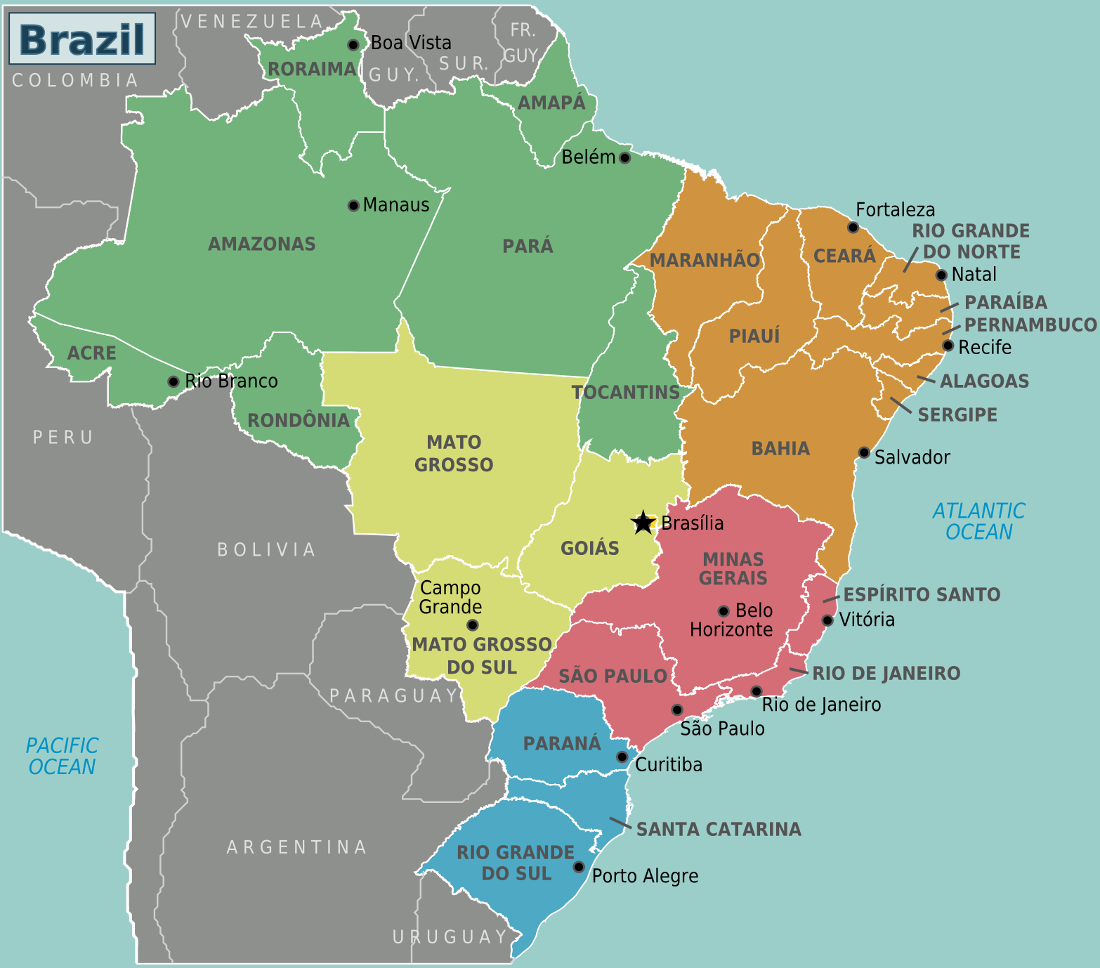
Regions of Brazil (Wikivoyage regional scheme), English version |
| Data | |
| Origem | Obra do próprio based on the map of Brazil by Felipe Menegaz and OpenStreetMap |
| Autor | Stefan Ertmann and João Felipe, amendments by Texugo and Joelf |
| Outras versões |
|
.png)
.png)
Licenciamento
A utilização deste ficheiro é regulada nos termos da licença Creative Commons - Atribuição-CompartilhaIgual 2.5 Genérica.
- Pode:
- partilhar – copiar, distribuir e transmitir a obra
- recombinar – criar obras derivadas
- De acordo com as seguintes condições:
- atribuição – Tem de fazer a devida atribuição da autoria, fornecer uma hiperligação para a licença e indicar se foram feitas alterações. Pode fazê-lo de qualquer forma razoável, mas não de forma a sugerir que o licenciador o apoia ou subscreve o seu uso da obra.
- partilha nos termos da mesma licença – Se remisturar, transformar ou ampliar o conteúdo, tem de distribuir as suas contribuições com a mesma licença ou uma licença compatível com a original.
Registo de carregamento original
| This file was imported from Wikivoyage WTS. |
A página de descrição original está aqui. Todos os nomes de utilizador a seguir referem-se a wts.wikivoyage-old.
- 2009-03-16 16:07 (WT-shared) Sertmann[link morto] 780×687 (193018 bytes) {{Imagecredit|credit=Stefan Ertmann and João Felipe|captureDate=March 2009|location=Brazil|source=http://commons.wikimedia.org/wiki/File:Br (Import from wikitravel.org/shared)
- 2009-06-08 04:58 (WT-shared) Peterfitzgerald cópia arquivada at the Wayback Machine 1664×1465 (429546 bytes) switch Suriname & Guyana labels (SVG corrupt, so changes were made directly to the png file) (Import from wikitravel.org/shared)
- 2010-09-23 12:45 (WT-shared) Texugo[link morto] 783×689 (191302 bytes) (Import from wikitravel.org/shared)
- 2010-12-26 05:45 (WT-shared) Joelf[link morto] 780×688 (167358 bytes) Fixed many errors and misspelling. (Import from wikitravel.org/shared)
- 2012-09-11 15:45 Atsirlin[link morto] 1566×1378 (424158 bytes) cleanup
Histórico do ficheiro
Clique uma data e hora para ver o ficheiro tal como ele se encontrava nessa altura.
| Data e hora | Miniatura | Dimensões | Utilizador | Comentário | |
|---|---|---|---|---|---|
| atual | 22h38min de 19 de novembro de 2012 | | 1 566 × 1 378 (414 kB) | OgreBot | (BOT): Reverting to most recent version before archival |
| 22h38min de 19 de novembro de 2012 |  | 780 × 688 (163 kB) | OgreBot | (BOT): Uploading old version of file from wts.wikivoyage-old; originally uploaded on 2010-12-26 05:45:30 by (WT-shared) Joelf | |
| 22h38min de 19 de novembro de 2012 |  | 783 × 689 (187 kB) | OgreBot | (BOT): Uploading old version of file from wts.wikivoyage-old; originally uploaded on 2010-09-23 12:45:49 by (WT-shared) Texugo | |
| 22h38min de 19 de novembro de 2012 |  | 1 664 × 1 465 (419 kB) | OgreBot | (BOT): Uploading old version of file from wts.wikivoyage-old; originally uploaded on 2009-06-08 04:58:25 by (WT-shared) Peterfitzgerald | |
| 22h38min de 19 de novembro de 2012 |  | 780 × 687 (188 kB) | OgreBot | (BOT): Uploading old version of file from wts.wikivoyage-old; originally uploaded on 2009-03-16 16:07:07 by (WT-shared) Sertmann | |
| 22h56min de 17 de novembro de 2012 |  | 1 566 × 1 378 (414 kB) | MGA73bot2 | {{BotMoveToCommons|wts.oldwikivoyage|year={{subst:CURRENTYEAR}}|month={{subst:CURRENTMONTHNAME}}|day={{subst:CURRENTDAY}}}} == {{int:filedesc}} == {{Information |description=Map of Brazil. Map of Brazil with regions and major cities<br>SVG version:[[:w... |
Utilização local do ficheiro
A seguinte página usa este ficheiro: